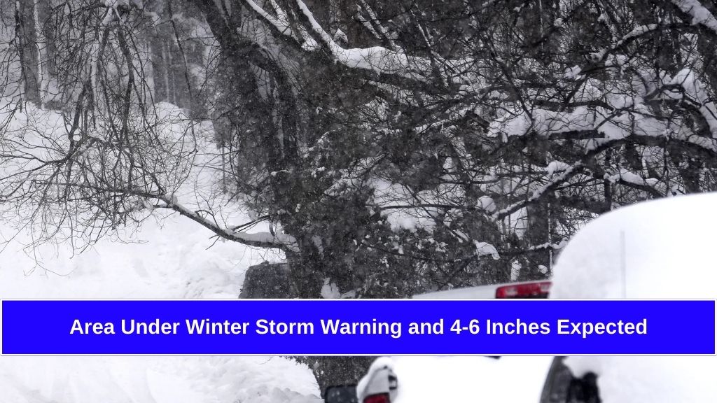
A new storm system is moving into Southern California this week, bringing with it widespread rain, gusty winds, and the potential for heavier downpours in certain areas. While the exact intensity of the storm remains uncertain, forecasters from the National Weather Service (NWS) predict it will likely be a moderate rain event with minor impacts. However, some projections suggest it could develop into a more significant weather system.
Here’s what to expect as the storm approaches.
What the Forecast Says
The National Weather Service has indicated that there’s still a wide range of possible outcomes for this storm. According to their statement:
“Unfortunately, there is still a range of outcomes, which means an uncertain forecast. It still looks like a mostly moderate-type rain event with generally minor impacts, but a few projections remain which favor a more significant event.”
Rainfall Estimates:
- Coastal and Valley Areas: Around 1 inch of rain
- Foothills and Mountain Regions: Between 2 to 3 inches of rain
All the moisture from this system is coming from warmer ocean waters, which means snow levels will stay high, around 8,000 feet or above.
How Will Temperatures Be Affected?
The storm will bring cooler temperatures across the region:
- Tuesday: Highs in the lower to mid-60s
- Wednesday: Temperatures dropping to around 60°F
This significant cooling will be noticeable, especially after the recent mild weather.
Risks and Potential Impacts
While the forecast suggests minimal risks for destructive mudslides or debris flows, particularly in areas affected by recent wildfires, there’s still some cause for concern. Total rainfall amounts could vary, and even moderate rain can trigger issues in vulnerable areas.
Recent Storm Impacts in the Region:
- Minor Mud Flows: Reported in some areas after last week’s winter storm
- Road Closures:
- Topanga Canyon Boulevard was closed due to a mudslide near Pacific Coast Highway
- The Grapevine (I-5 Freeway) experienced an 11-hour closure because of lingering snowfall
These incidents highlight the need to remain cautious, especially in hillside communities and near burn scar areas.
Preparedness Measures in Place
Los Angeles County is taking proactive steps to prepare for the upcoming storm. Supervisor Lindsey Horvath confirmed that the Department of Public Works is:
- Cleaning drainage systems and debris basins
- Installing additional k-rails to control debris flow
- Stocking sandbags at vulnerable locations
These efforts aim to reduce flooding risks and keep roads clear during the storm.
What Should You Do to Prepare?
For Residents:
- Check your drainage systems to ensure they are clear of debris
- Secure outdoor items to prevent them from being blown away by gusty winds
- Prepare an emergency kit with essentials in case of power outages or road closures
- Stay updated with the latest weather alerts from trusted sources like the National Weather Service
For Drivers:
- Avoid driving through flooded roads—just 6 inches of water can cause you to lose control
- Be cautious on mountain roads, especially where mudslides or debris flows are possible
- Allow extra travel time as roads may be slippery or congested
While this week’s storm in Southern California is expected to be moderate, its impacts could vary depending on how the system develops. Heavy rain, gusty winds, and cooler temperatures are likely, with some areas at risk for minor flooding or mudslides, especially near recent burn scars. Officials are taking necessary precautions, and residents should stay informed and prepared as weather conditions evolve.
FAQ
When will the storm hit Southern California?
The storm system is expected to impact Southern California this week, with the most significant rainfall likely between Tuesday and Wednesday.
How much rain is expected?
Forecasts predict around 1 inch of rain in coastal and valley areas and 2 to 3 inches in foothills and mountain regions.
Will the storm cause mudslides?
While the risk is minimal, there is still a chance of minor mudslides or debris flows, especially in areas affected by recent wildfires.
How cold will it get during the storm?
Temperatures will drop to the lower to mid-60s on Tuesday and near 60°F by Wednesday.
What safety precautions should I take?
Clear drainage systems, secure outdoor items, prepare an emergency kit, and stay updated with the latest weather alerts from the National Weather Service.